
Introduction
Relief maps have long been a fundamental tool used by geographers, cartographers, and explorers to understand the intricate details of our planet’s topography.
These maps provide a three-dimensional representation of the Earth’s surface, allowing us to visualize the highs and lows, mountains and valleys, and even the depths of our oceans.
But have you ever wondered how relief maps are created and what scientific principles lie behind their fascinating ability to convey such accurate information?
This article will delve into the science behind relief maps, unraveling the techniques used to capture elevation data and exploring how these maps aid in various fields.
What Are Relief Maps?
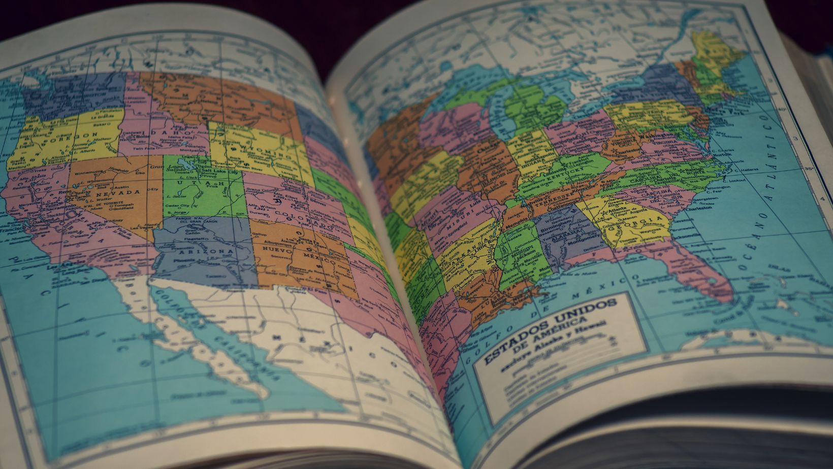
Relief maps are a type of map that depicts the topography or elevation of an area.
These maps use shading or contour lines to show the shape and height of landforms such as mountains, valleys, and plateaus.
Relief maps are particularly useful for understanding an area’s physical features and geography, and they are often used in fields such as geology, cartography, and urban planning.
Understanding How Relief Maps Work
Relief maps are topographic maps that display the three-dimensional features of a landscape on a two-dimensional surface.
They use shading and contour lines to represent the elevation and shape of the terrain. The darker areas on relief maps indicate lower elevations, while lighter areas represent higher elevations.
These maps provide valuable information about the physical features of an area, such as mountains, valleys, plateaus, and slopes.
Geographers, geologists, and cartographers can analyze landforms, plan routes, understand drainage patterns, and assess potential hazards like landslides or flooding by studying relief maps.
Overall, relief maps are essential tools for visualizing and understanding the complex geography of our world.
Applications of Relief Maps
Relief maps, also known as terrain maps or physical maps, are valuable tools used in various applications.
They display three-dimensional elevation and topographical features, useful in various fields like geography, geology, urban planning, environmental studies, and military operations.
They analyze landforms, infrastructure development, natural resources, hazards, and navigation.
Given below are some of the most important applications of relief maps that you must know—
1. Navigation and Orientation
Relief maps are extensively used for navigation and orientation purposes. These maps provide a detailed representation of the topography, including the elevation and slope of the land.
This information is crucial for hikers, mountaineers, and other outdoor enthusiasts who rely on accurate maps for planning their routes and understanding the terrain they will encounter.
Relief maps allow users to visualize the landscape in three dimensions, making navigating challenging environments easier and avoiding potential hazards such as steep cliffs or ravines.
Additionally, relief maps can be used by pilots and sailors to determine flight paths or safe routes at sea, ensuring a smooth and secure journey.
2. Urban Planning and Development
Relief maps are also essential tools in urban planning and development. They provide a comprehensive view of a city or region’s topography and natural features, allowing planners to make informed decisions about where to build infrastructure, allocate resources, and design public spaces.
By understanding the contours of the land and identifying any potential obstacles or constraints, relief maps help ensure that urban development is efficient and sustainable.
Furthermore, these maps can assist in identifying areas prone to flooding or other natural disasters, enabling planners to implement appropriate measures for disaster risk reduction and mitigation.
Overall, relief maps play a crucial role in shaping the physical landscape of cities and ensuring their long-term viability.
3. Natural Resource Management
Relief maps are invaluable tools in the field of natural resource management. By accurately depicting an area’s topography and land features, these maps aid in identifying and evaluating various natural resources such as minerals, water sources, and forests.
This information is essential for making informed decisions regarding resource extraction, conservation efforts, and sustainable land use practices.
For example, relief maps can help identify areas with high mineral potential by highlighting geological formations or indicating the presence of certain rock types associated with valuable minerals.
Resource managers can optimize exploration and extraction in economically beneficial areas, while these maps aid in water resource management, infrastructure, flood-prone areas, and disaster management for sustainable planning.
4. Disaster Preparedness and Response
One important application of relief maps is in disaster preparedness and response.
They provide crucial information about the topography and geography of an area, which is essential for understanding potential risks and vulnerabilities to natural disasters such as earthquakes, floods, or landslides.
By analyzing these maps, emergency management agencies can identify areas prone to certain hazards and develop appropriate strategies to mitigate the impact of disasters.
Relief maps also play a vital role in response efforts, as they help locate affected areas and plan evacuation routes or resource allocation effectively.
5. Infrastructure Development
Infrastructure development is another area where relief maps are crucial. By studying relief maps, urban planners and engineers can determine suitable locations for roads, bridges, and other critical infrastructure.
This information is especially important in disaster-prone areas, as it allows them to design resilient structures to potential hazards.
They also aid in identifying areas at risk of erosion or landslides, enabling engineers to implement appropriate measures for protecting infrastructure and ensuring its longevity.
These maps are valuable in guiding infrastructure development and promoting sustainable growth in vulnerable regions.
6. Tourism and Recreation
Relief maps also play a significant role in tourism and recreation. These maps provide visitors with a visual representation of the terrain and topography of an area, allowing them to plan their activities accordingly.
For example, hikers can use these maps to identify mountain ranges, valleys, or rivers they may want to explore. Therefore, you can shop for Colorado relief maps if you are visiting the place and wish to explore the terrain by yourself.
Similarly, tourists interested in outdoor activities such as skiing or rock climbing can assess the suitability of different locations based on the relief map’s depiction of slopes and cliffs.
The Versatility of Relief Maps
Relief maps are an invaluable tool for understanding and visualizing the complex topography of our world.
Whether used for educational purposes, urban planning, or scientific research, these maps provide a three-dimensional perspective that enhances our understanding of the Earth’s surface.
From mountains to valleys, rivers to coastlines, relief maps allow us to explore and appreciate the diverse landscapes that make up our planet.
With their versatility and ability to convey information in a visually engaging way, relief maps continue to be an essential resource for geographers, cartographers, and enthusiasts alike.
 By Amey Myers
Amey, an intrepid traveler and avid blogger, roams the world, absorbing diverse cultures, flavors, and experiences. Her writing captures the essence of her adventures, inspiring others to explore. Amey's infectious passion for travel and storytelling epitomizes a life filled with exploration and adventure.


