Conquering the highest peak on Earth is something that anyone with a slight passion for hiking up the mountains has thought about at least once. Unfortunately, most of us are not really fit enough to attempt something like that. Google Maps was the first to bring Mt. Everest closer, and now another app creates an even more fulfilling 3D experience of it.
 |
 |
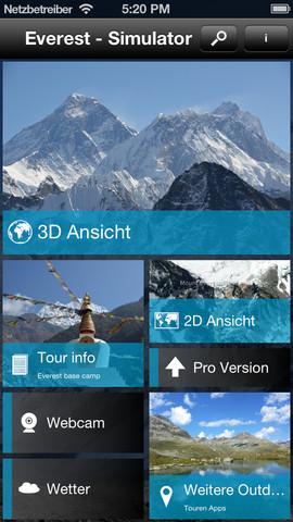
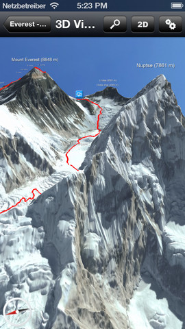
Mount Everest 3D, an iOS and Android app, shows you Everest from any perspective, all in the highest resolution you could experience on a smartphone or tablet. Developed by German company 3D RealityMaps, this app offers quite an experience for everyone fascinated by this particular ascent to the top of the world. It’s also an amazing way to promote their other apps and products and show what they can do.
” The map is based on satellite images from unique satellite WordView2 of DigitalGlobe and is so precise that the mountain is represented absolutely realistic,” says the company’s website.
If you’re just interested in a fun 3D adventure of Mount Everest, then the free version will definitely give you just that. For an additional 5.49 euros you gain access to GPS and tracking, offline map, and tours of other Himalayan routes.
Here’s a Mashable video showcasing this amazing new app.

 By
By 


