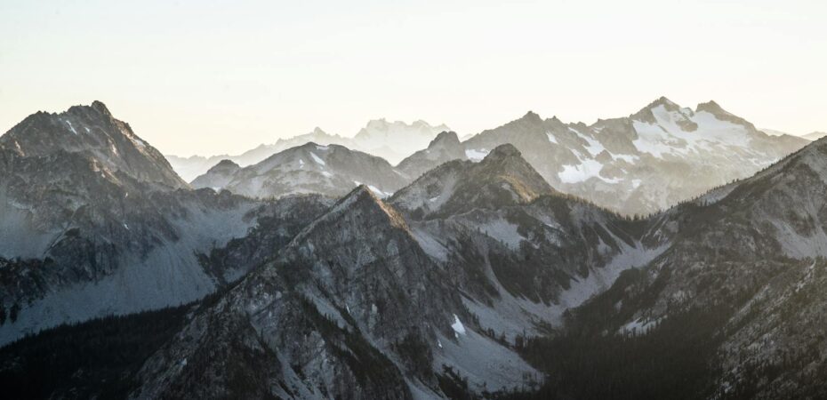
For those of us who are not fit and adventurous enough to risk our lives to reach the top of the world, Google Maps has created the next best thing: an opportunity to get a real feel of life on these high-altitude destinations that’s completely risk free. A camera showing a panoramic view of famous mountains – Mt. Kilimanjaro in Africa, Mt. Aconcagua in South America, Mt. Elbrus of Europe, and the Crown Jewel, Everest Base Camp in Asia – will allow us normal travelers to experience the scenery and life in these remote and quite dangerous areas.
This is all part of World’s Highest Peaks, the latest special collection of Google Maps. If you’re wondering who to thank for such breathtaking views, Mashable says it’s Google employee Dan Fredinburg who works with the company’s Innovation Lab and data control. He got the idea while climbing Mt. Fuji in Japan.
“It was an experience we wanted to share with everyone,” Fredinburg told Mashable. “After that, we decided to climb mountains all over the world over the course of a year and a half by taking photography equipment with us and capturing it for Google.”
I don’t know about you, but in my case, seeing this particular Google Maps project does bring the top of the world a little closer! It also makes it seem a less far-fetched. But no, no one in the Travel Tweaks team is currently planning to try climbing these mountains!
 By Olivia Gril