The distance between the United States and Russia at their closest point is a topic that piques my curiosity. Many people wonder about this geographical aspect, as these two countries are separated by vast expanses of land and water. So, what exactly is the distance between them?
At their closest point, the United States and Russia are separated by approximately 2.4 miles (3.8 kilometers). This closest point occurs in the Bering Strait, which lies between Alaska (US) and Siberia (Russia). It’s fascinating to think that these two massive countries come so close to touching each other.
The Bering Strait holds immense significance both historically and geographically. It serves as a vital gateway connecting the Pacific Ocean with the Arctic Ocean. Although just a few miles apart, there is a significant contrast in culture, language, and political systems between these neighboring nations.
Understanding this distance gives us insight into the unique relationship shared by the United States and Russia. While physically close at this point, they remain distinct entities with their own histories, interests, and geopolitical dynamics. Exploring this proximity opens up avenues for further exploration of their connections and differences on a global scale.
What is The Distance Between The United States And Russia at Their Closest Point
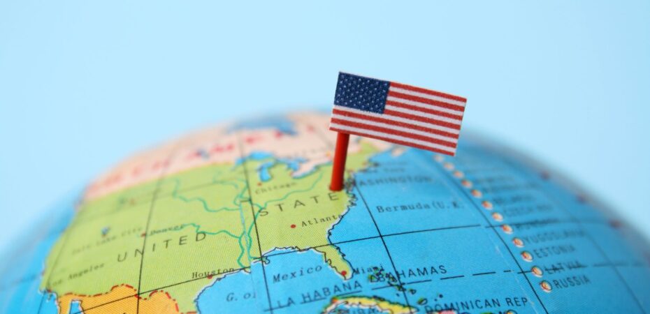
The Geographical Location of The United States
When it comes to measuring the distance between two countries, it’s essential to consider their geographical locations. In the case of the United States, this vast country spans a significant portion of North America. From east to west, it stretches across approximately 2,800 miles (4,500 kilometers). To put that into perspective, it would take you around 45 hours to drive from New York City on the East Coast to Los Angeles on the West Coast.
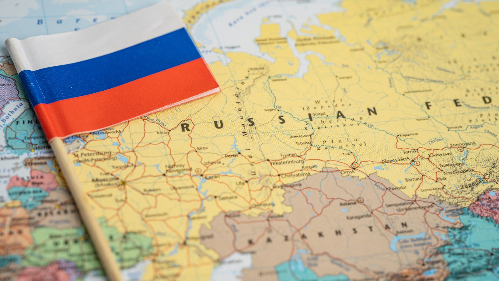
Understanding The Geography of Russia
Russia is renowned for its sheer size and expansive territory. As the largest country in the world by land area, it covers a staggering 6.6 million square miles (17.1 million square kilometers). Its borders span multiple continents and time zones. To visualize its vastness better, imagine driving from Moscow to Vladivostok in eastern Russia; this journey alone covers over 5,700 miles (9,200 kilometers), taking you through various landscapes and diverse cultures.
Exploring Nearest Points Between The United States And Russia
Now let’s explore how these two mammoth countries connect at their closest points. At their nearest point along their maritime borders in the Bering Strait, which separates Alaska from Siberia, lies Big Diomede Island (Russian side) and Little Diomede Island (US side). The distance between these islands is approximately 2.4 miles (3.8 kilometers).
Interestingly enough, despite being separated by such a short distance here at their closest point geographically-speaking; they are actually located on opposite sides of the International Date Line – an imaginary line that divides one calendar day from another.
It’s worth noting that traversing this short distance isn’t as straightforward as hopping on a boat or swimming across due to legal restrictions and border control measures.
Understanding Closest Points of Contact
The Distance Between The United States And Russia at Their Closest Point
When it comes to discussing the distance between countries, one intriguing question that often arises is: what is the distance between the United States and Russia at their closest point? Well, let’s dive into this topic and unravel the fascinating details.
At their nearest points, the United States and Russia are separated by only a narrow stretch of water known as the Bering Strait. This strait connects the Pacific Ocean to the Arctic Ocean and lies between Alaska (United States) and Chukotka (Russia). The shortest distance across this passage is approximately 55 miles (88 kilometers).
It’s mind-boggling to think that two nations with such vast geographical expanse can be so close together at a specific point. However, this proximity also presents unique challenges and opportunities for both countries in terms of cooperation, trade, and geopolitical relations.
Factors Influencing The Distance Between The United States And Russia
While we now know about the closest point between these two nations, it’s important to consider various factors that influence this distance. Let’s explore some key factors:
- Tectonic Activity: The Bering Strait lies in a region where tectonic plates meet. Over millions of years, plate movements have contributed to shaping its current form. Understanding these geological processes helps us appreciate how landmasses have shifted over time.
- Climate Conditions: The extreme climate in this region affects accessibility throughout different seasons. Harsh winters can lead to freezing conditions, making navigation challenging or even impossible during certain times of the year.
- Historical Significance: Throughout history, indigenous peoples from both sides of the Bering Strait have maintained cultural connections through trade routes and migration patterns across this narrow passage. Recognizing this shared heritage enhances our understanding of their intertwined histories.
- Strategic Importance: Given its location near crucial shipping routes and valuable natural resources, the Bering Strait holds strategic significance for both nations. It influences decisions regarding security, resource exploration, and environmental protection.
In conclusion, while the United States and Russia may be separated by vast distances across most regions, at their closest point in the Bering Strait, they are merely 55 miles apart. This proximity carries historical, geographical, and geopolitical implications that contribute to our understanding of these two influential countries’ relationship dynamics.
 By Amey Myers
Amey, an intrepid traveler and avid blogger, roams the world, absorbing diverse cultures, flavors, and experiences. Her writing captures the essence of her adventures, inspiring others to explore. Amey's infectious passion for travel and storytelling epitomizes a life filled with exploration and adventure.