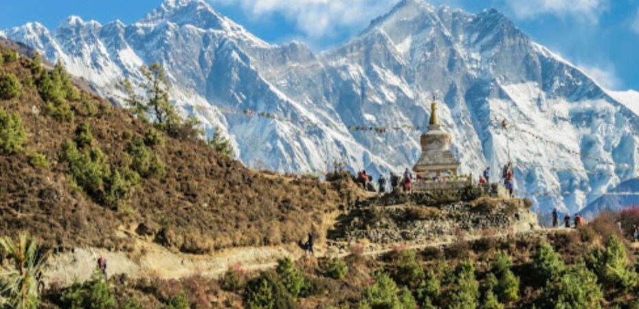
Nepal’s mountains have a way of humbling anyone who assumes they can simply drive there. Roads thin out fast once you leave Kathmandu, and beyond a certain point, they disappear altogether. For travelers hoping to reach Everest Base Camp, the Annapurna Circuit’s higher stretches, or villages tucked into the Solukhumbu and Mustang regions, the real question isn’t which trail to walk, it’s how to even begin.
Why Nepal’s Geography Forces Different Choices
The country packs eight of the world’s fourteen highest peaks into a strip of land smaller than many single U.S. states. That density creates a transportation puzzle unlike almost anywhere else. Valleys sit isolated by ridgelines that would take days to cross on foot, and the monsoon season regularly washes out what little road infrastructure exists. Villages that look close together on a map might be separated by a full day’s trek and several thousand feet of elevation change.
This is why so much of Nepal’s remote tourism economy has grown up around small aircraft and rotorcraft rather than buses or private cars. It’s not a luxury add-on for most travelers heading into the Khumbu — it’s often the only realistic option once road access ends.
Lukla: The Gateway Everyone Talks About
Most Everest-bound itineraries begin with a short flight from Kathmandu to Lukla, home to one of the more talked-about airstrips in the world thanks to its short runway and dramatic mountainside approach. Weather windows here are narrow and unpredictable, which is why flights get delayed or cancelled with some regularity, especially outside the clearer pre-monsoon and post-monsoon months of March–May and September–November.
Travelers who’ve been burned by a multi-day Lukla delay know the frustration well: an entire trip’s schedule can hinge on a single morning’s visibility. This is part of why helicopter travel has become such a practical fallback in the region. Helicopters can often operate in conditions that ground fixed-wing flights, and they can reach landing zones that no airstrip serves at all, a real advantage when a trekking group needs to get moving, or when a medical situation calls for a fast descent from altitude.
Beyond Everest: Mustang, Manaslu, and the Far West
Everest gets most of the attention, but it’s far from the only region where air access matters. The Upper Mustang area, with its high desert landscapes and Tibetan-influenced villages, sits well beyond where most vehicles can go. Manaslu’s circuit skirts remote valleys with minimal road infrastructure. And Nepal’s far-western districts, rarely visited by comparison, depend on small aircraft for basic supply runs as much as for tourism.
For travelers building an itinerary around these areas, local operators who understand the terrain and seasonal flying conditions make a meaningful difference. Companies such as Aero Connect Nepal work within this niche, coordinating charter flights and scenic routes into areas where scheduled commercial service simply doesn’t reach. Booking through an operator familiar with the specific valley you’re headed to, rather than a generic charter broker, tends to mean fewer surprises around weight limits, weather contingencies, and landing zone conditions.
Planning Around the Realities, Not Around the Brochure
The single biggest mistake travelers make when planning remote Nepal trips is treating flight schedules as fixed. Build in buffer days, especially around Lukla. Ask operators directly about their weather cancellation policies before you book. And if your itinerary depends on reaching a specific village by a specific date — for a permit deadline, a connecting international flight, or a limited trekking season — factor in that mountain aviation in Nepal runs on the mountains’ terms, not the calendar’s.
Reaching Everest, Mustang, or any of Nepal’s high-altitude regions isn’t complicated once you understand how the pieces fit together. It just requires planning around aircraft schedules the way you’d plan around tide charts on a coastal trip: as the defining constraint, not an afterthought.
 By
By